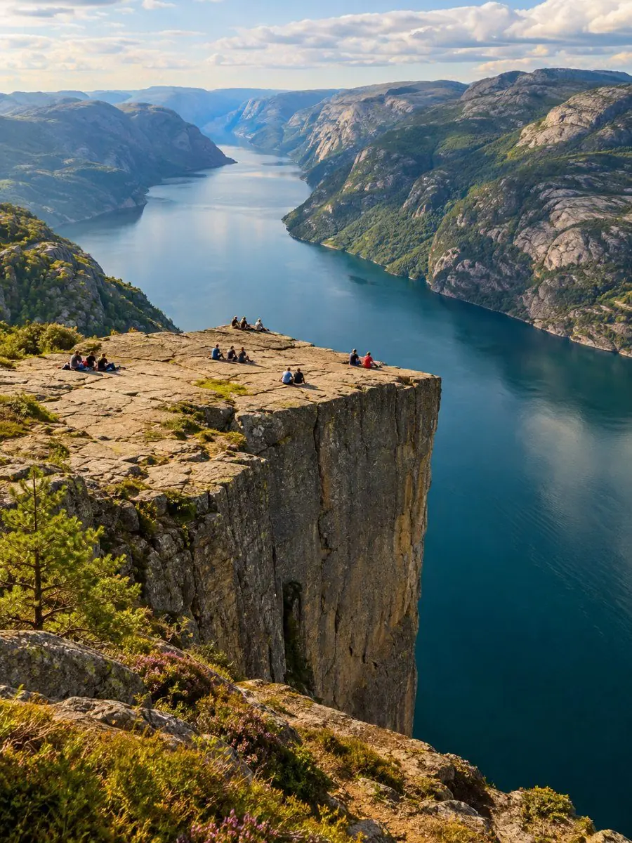
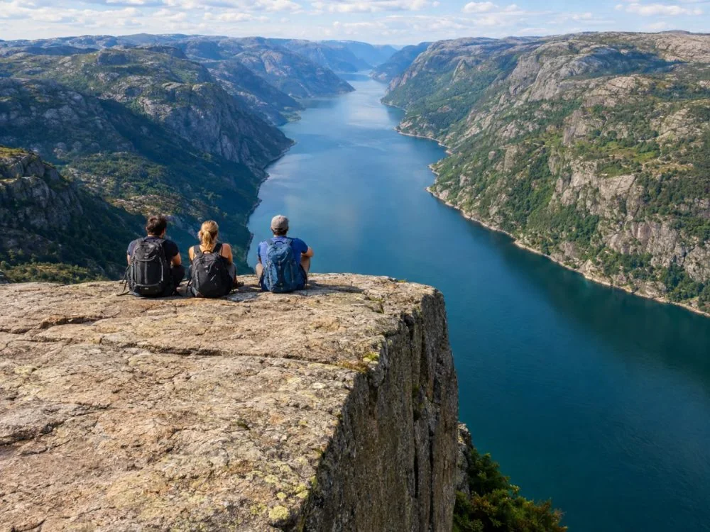
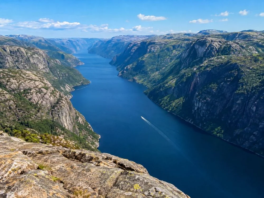
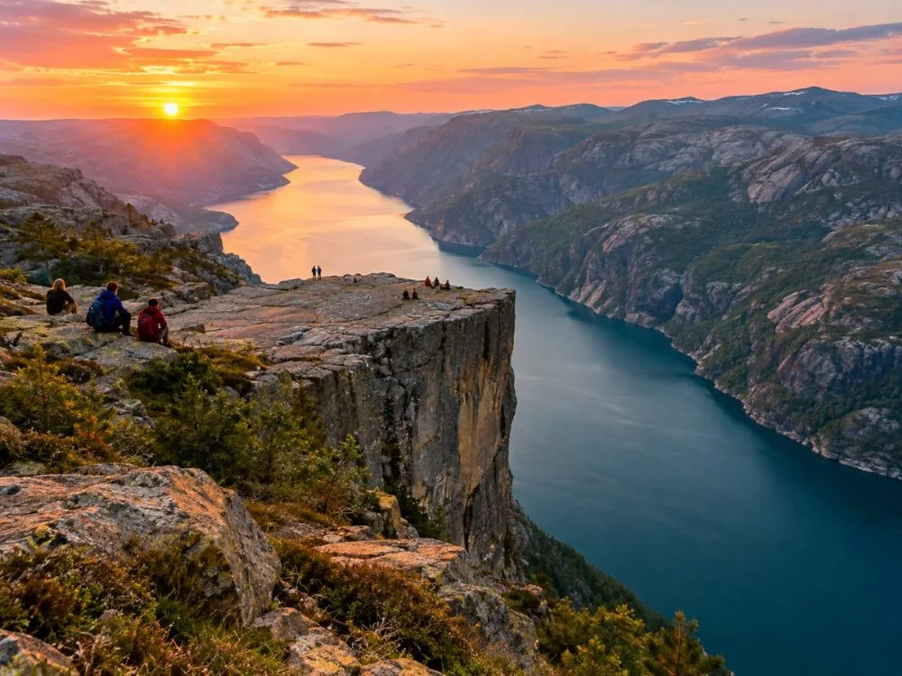
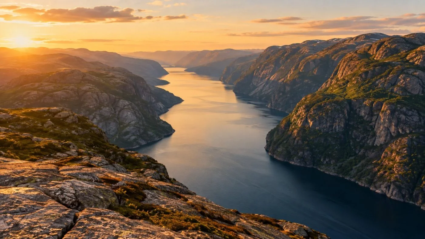
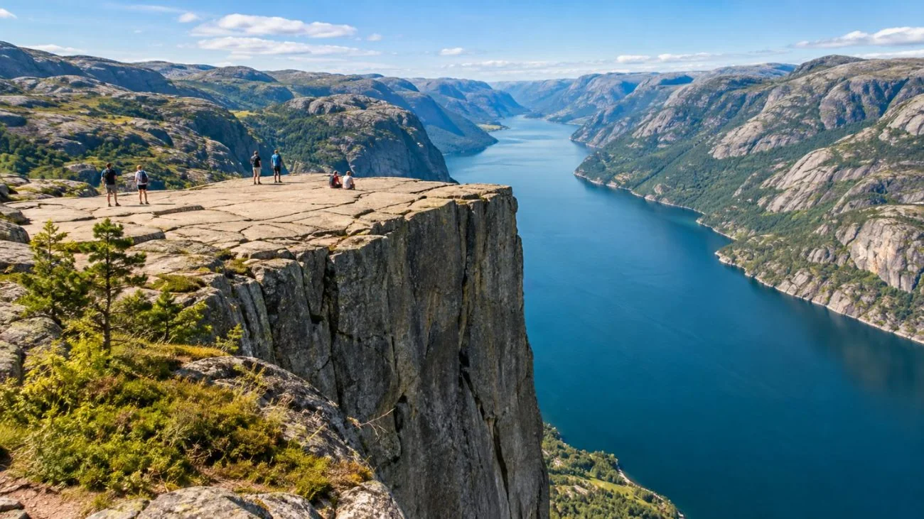
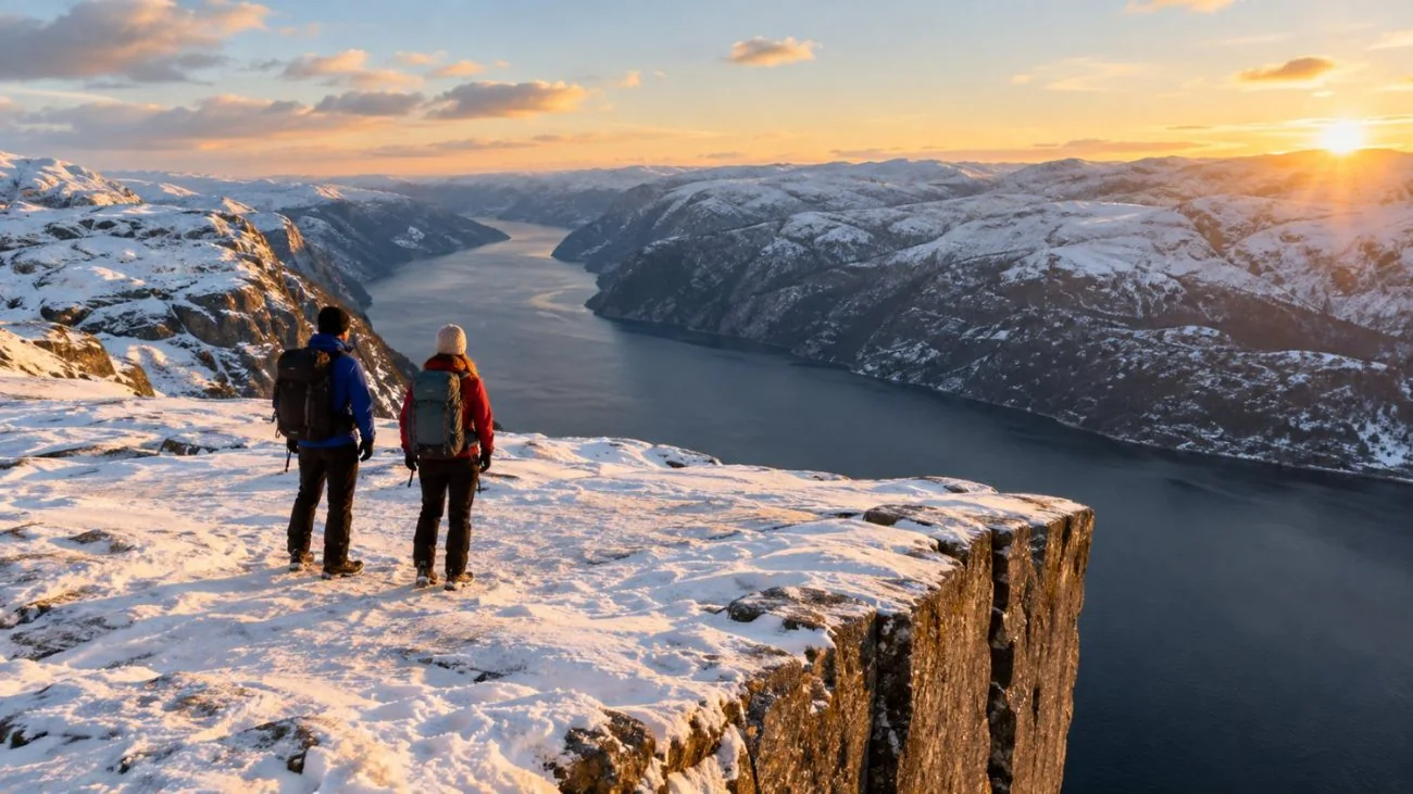
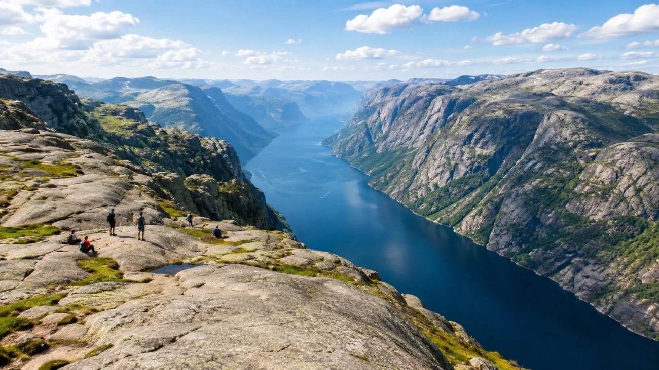
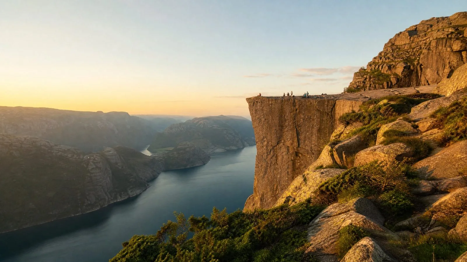
A flat granite plateau about 25 metres square, hanging 604 metres above the Lysefjord near Stavanger.
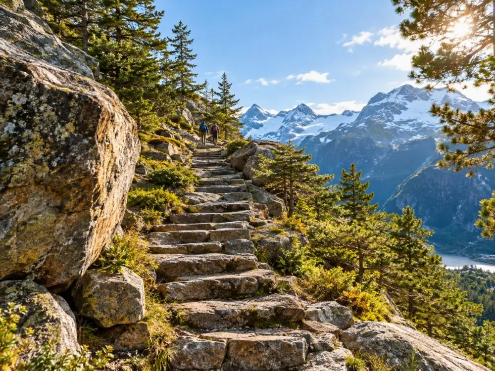
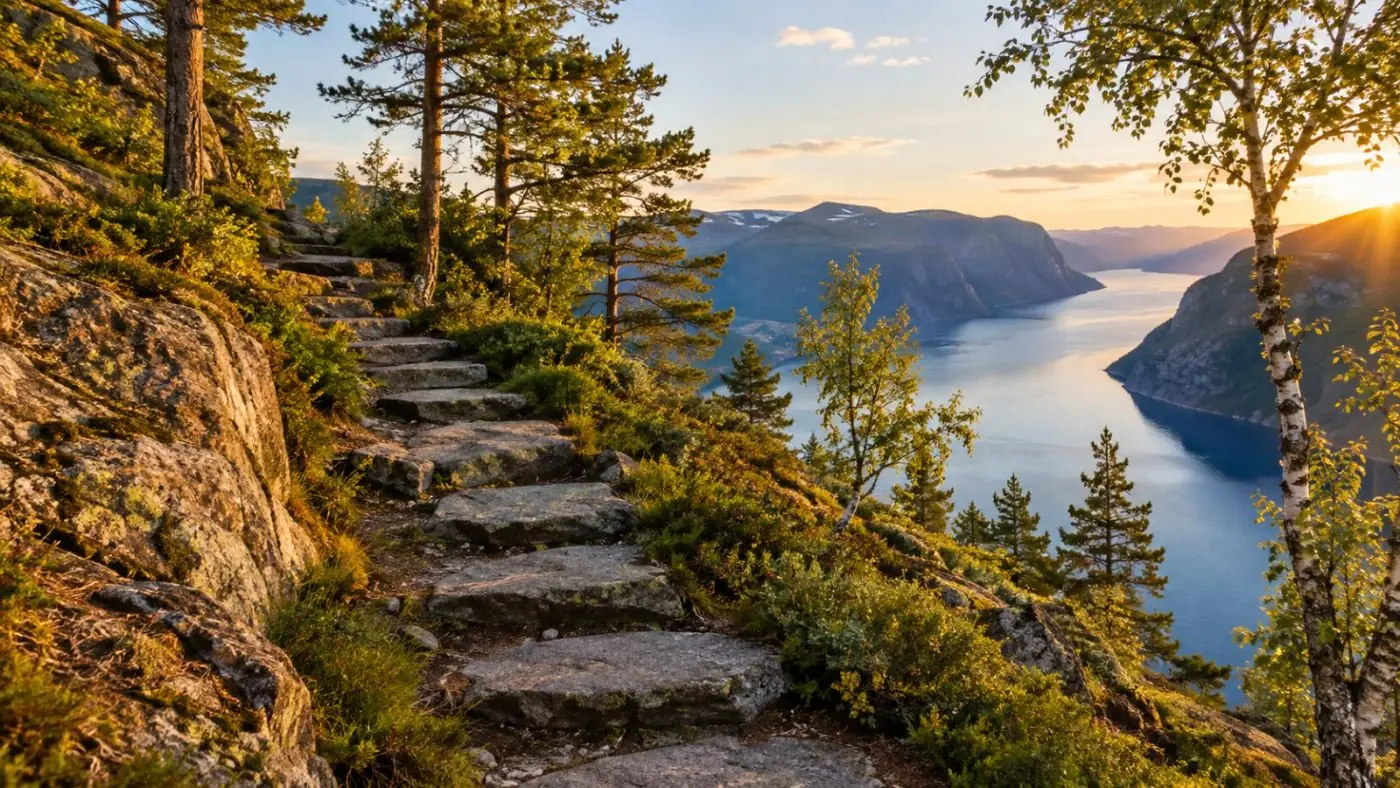
Climb the Sherpa-built stone steps through pine and bog, then sit back from the edge and watch the boats crawl along the fjord below.
On top or below?Every tour says if you stand on the rock
Real guest ratingsLive figures from GetYourGuide
Free cancellationOn every tour on this page
Secure checkoutBooked on GetYourGuide
Tours
Choose your Preikestolen tour
In the centre, the guided hike that collects you at the Stavanger cruise terminal. Either side, a small-group
hike with hotel pickup and the electric fjord cruise that shows the rock from the water. Every card opens a full tour page.
Your guide drives you from your Stavanger hotel and sets an easy pace, with a quieter side trail when conditions allow. Groups stop at eight, and parking at the trailhead is covered.
A local guide meets you at the Stavanger cruise terminal and walks you up and down the main trail. Snacks, water and lunch are included, and the bus runs through the Ryfast tunnel.
What's included
Guided hike, about 4 hours on the trail
Bus from the Stavanger cruise terminal and back
Snacks, water and lunch
Live guide in English, Norwegian, Danish or Swedish
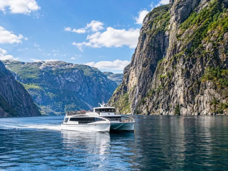
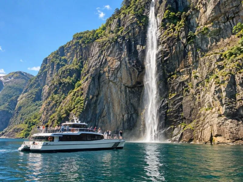
A quiet electric catamaran sails into the Lysefjord so you can look up at the rock from the water. Close passes at the Hengjanefossen waterfall, with an audio guide on board.
Two questions sort it out. Do you want to stand on the plateau or look up at it from the fjord? And do you
want someone else to handle the drive, the timing and the weather call?
Most tours here cancel free up to 24 hours before; the winter cruise and hike needs two days' notice.
The trail itself has no ticket: you only pay for parking if you drive.
Before you book
Most Pulpit Rock tours never reach the top.
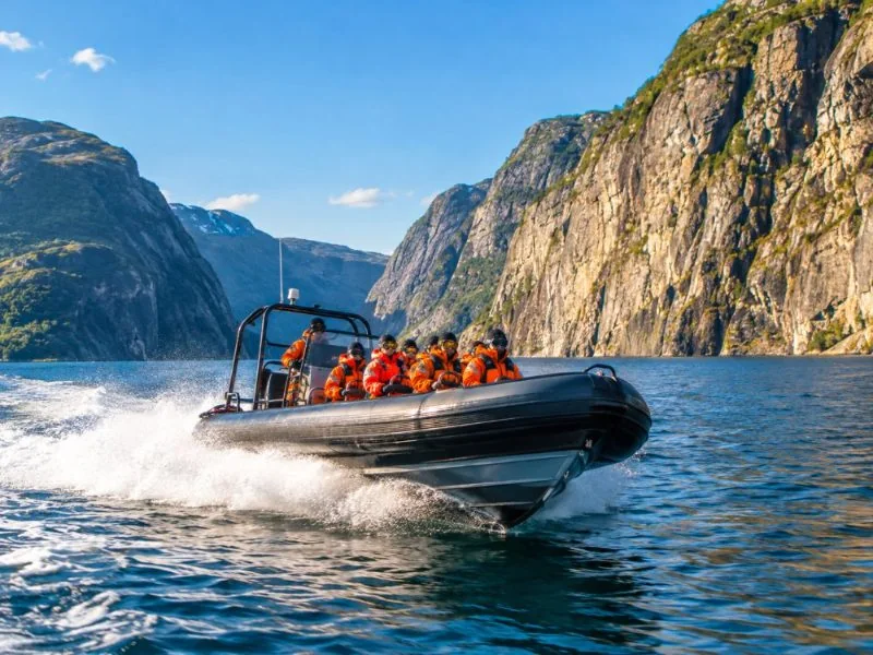
Search for a Preikestolen tour and the first results are boats: cruises and RIBs from central Stavanger.
They are good trips, and they sail right under the cliff. But they show you the rock from
the water, 604 metres below, and nobody gets off. If the picture in your head is you on the plateau with your legs
over the fjord, you need to walk.
The walk itself is free and well marked. From May to October most people drive or take the hiker bus to
Preikestolen Parking and go up on their own in about four hours. A guided hike earns its place when you have no car,
arrive on a cruise ship with a fixed return time, travel outside the bus season, or come in winter, when snow and ice
turn the stone steps into a different hike.
604
Metres from the plateau to the fjord. From a boat you look up the whole
height; from the top you look straight down it.
Guided hikeHike on your ownFjord cruiseRIB boat
The plateau is about 25 by 25 metres. There is no railing anywhere.
01
Do I need a guide?
Not from May to October. In winter, yes: snow, ice and short days.
02
How long is it?
About 8 km return, 500 m of climbing in total, 4 hours with a rest on top.
03
Can kids do it?
Plenty do. Guided tours start at 6 or 7; keep small children close near the cliffs.
04
Who should take the boat?
Anyone who can't manage steep steps for two hours, or who is afraid of heights.
Your day
How the hike runs
Six to seven hours door to door from Stavanger on a guided day, about four of them on the trail.
01
Under the fjord
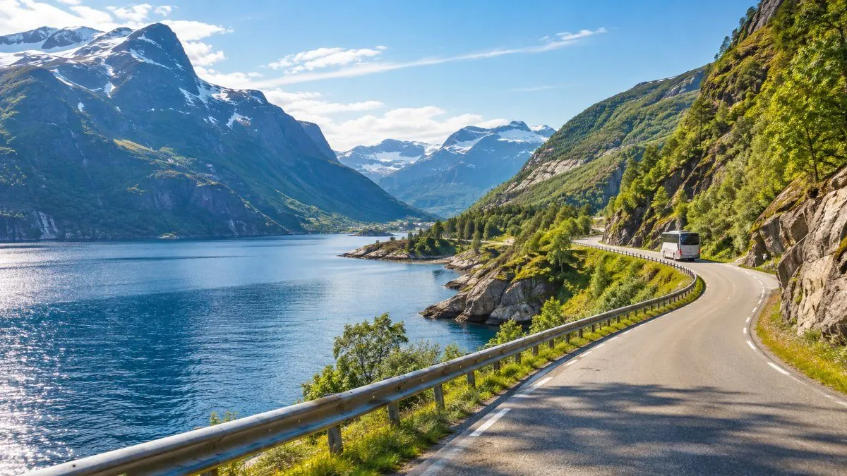
The road dives through the Ryfylke tunnel, 14.4 km long and 292 m below the sea, then on past Jørpeland to the trailhead.
About 40 minutes
02
The first climb
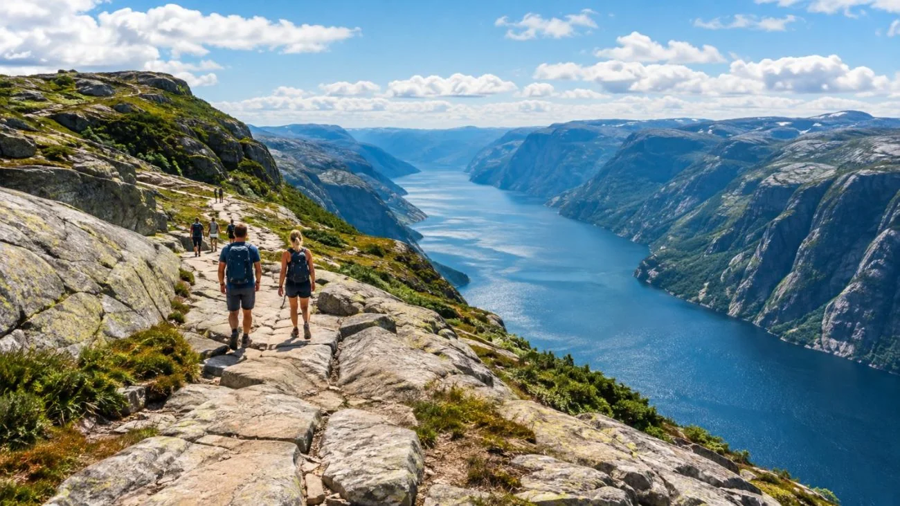
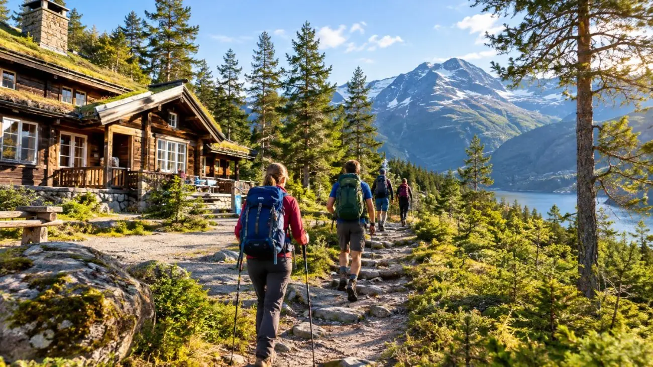
From the lodge at about 270 m, a gravel track and then the Sherpa stone steps climb steeply through pine forest.
About 45 minutes
03
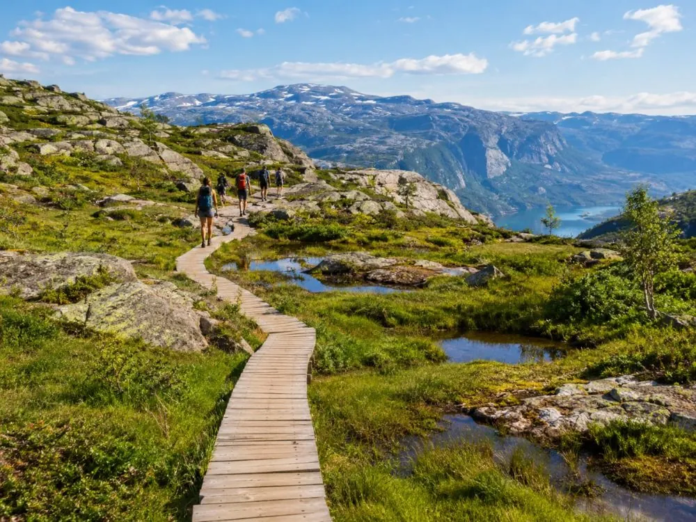
Bog and boardwalk
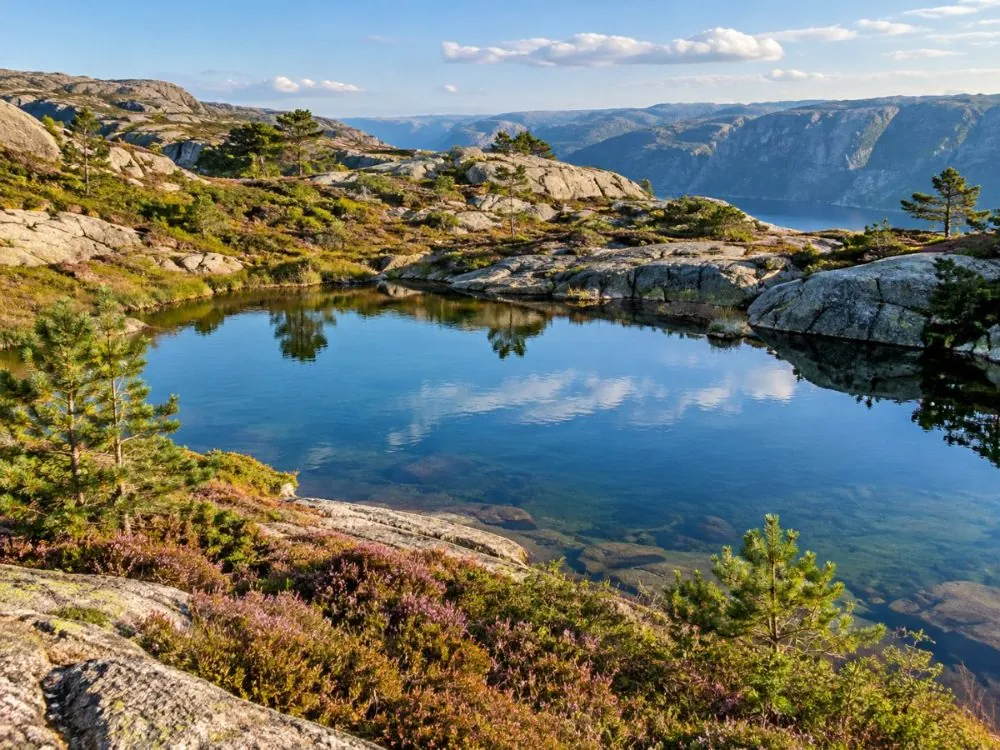
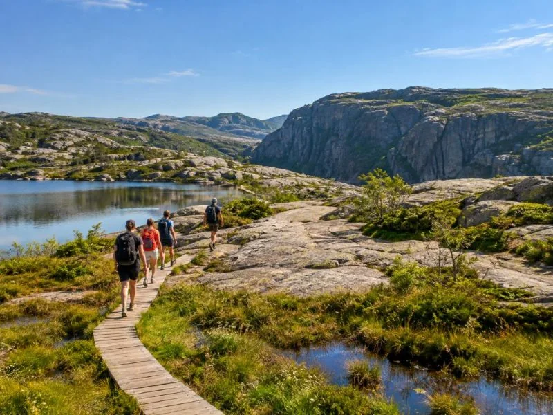
A flatter middle: open marsh on wooden planks, granite slabs and the small lake at Tjødnane, about 1 km from the top.
About 1 hour
04
On the rock
The last stretch runs along the cliff side to the plateau. Lunch, photos and a careful look over the edge.
Season, getting there, fitness and what to wear: one tab each.
May to October: the main season. The trail is snow-free most years and the hiker buses run.
June to August: the busiest months, with long light evenings. Weekends are the most crowded days.
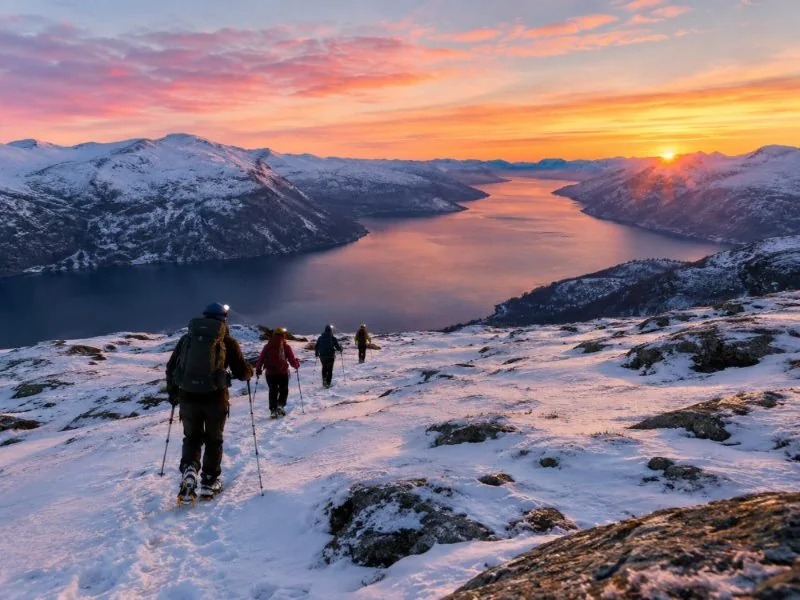
November to April: snow, ice and short days. Visit Norway advises a guide, spikes and a head torch.
Latest start times: the Preikestolen Foundation suggests starting by 17:30 in June and July, 13:00 in October and 11:00 in December.
By car: about 40 minutes from Stavanger on road 13 through the Ryfast tunnels (a toll road), then road 523 past Jørpeland.
Parking: Preikestolen Parking at the trailhead is paid and fills up on summer mornings.
Hiker buses: two companies run seasonal buses from central Stavanger, about 50 minutes each way. Tickets are sold online only.
Guided tours: pickup at a hotel or the cruise terminal, transport through the tunnels included.
Moderate difficulty: about 8 km return and 500 m of ascent counting every rise, with steep stone stairs.
Most reasonably fit people manage it in 4 hours; allow 5 with children or plenty of stops.
Minimum ages on the guided tours here: 6 or 7, and 8 in winter.
The plateau has no railing. Keep children close on the cliff-side stretches.
Hiking boots with a good grip. The stone steps are slippery when wet.
Layers and a rain jacket: it is often windy and cooler on top than in Stavanger.
Water and food. There is nowhere to refill or buy anything on the trail, and no bins.
Skip jeans and trainers, as the official advice says. In winter: spikes, a hat, gloves and a head torch.
TrailAbout 8 kmReturn, from Preikestolen Parking to the plateau and back.
ClimbAbout 500 mTotal ascent with all the ups and downs; the net gain is about 330 m.
TimeAbout 4 hoursIncluding a rest on top. Guided days run 6 to 7 hours from Stavanger.
The drop604 mFrom the plateau straight down to the Lysefjord.
SeasonMay to OctoberHike on your own. Winter hikes need a guide and spikes.
VisitorsAbout 300,000A year. Start before 8 or after 4 in summer to dodge the queue.
Where it happens
Where the trail starts
Preikestolen Parking, Strand
Trailhead: Preikestolen BaseCamp and Fjellstue, about 3 km past Jørpeland on road 523
The hike starts at the car park beside the mountain lodge, where there are toilets. There are none on the trail.
Preikestolen sits in Strand municipality on the north side of the Lysefjord, 25 km from Stavanger as the crow
flies. Since the Ryfast tunnels opened in 2019 and 2020, the old Tau ferry is gone and the drive takes about 40 minutes.
Stavanger by car: about 40 minutes
Hiker bus from Stavanger: about 50 minutes
Fjord cruises: from Strandkaien in central Stavanger
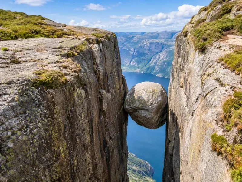
Preikestolen by a quiet trail on day one, a cruise up the Lysefjord and a night in Lysebotn, then the 27 hairpin bends to the Kjerag trailhead. Kjerag is longer, steeper and higher. Groups stop at eight.
Preikestolen is Norway's most visited hike and probably its most photographed rock. Here is what the photos
leave out.
A pulpit cut by ice
The name means the preacher's chair. Older locals called it Hyvlatånnå, the plane's tooth, after the blade of a
woodworking plane. Either way it describes the same odd thing: a flat, nearly square block of granite, about 25 metres
on each side, with a vertical face that drops 604 metres into the Lysefjord. It formed around 10,000 years ago, at the
end of the last ice age. Water froze in the cracks, split off angular blocks, and the glacier carried them away.
The first recorded hike was in 1896, when a Stavanger bank manager, Thomas Peter Randulff, saw the cliff from a
steamboat and went up with a local farmer. The Stavanger Trekking Association marked a trail in 1921. Today about
300,000 people a year make the trip, and on the busiest day on record, 17 July 2019, more than 5,300 did.
Nepalese Sherpas rebuilt the steepest sections with hand-laid granite steps from 2013.
The trail, honestly
It is about 4 km each way. The official figure for climbing is around 500 metres, because the path rises, dips and
rises again; the net gain from the lodge to the plateau is closer to 330. Expect two steep staircases, a wet middle
section on boardwalks, and a final stretch along the cliff side where the drop is right beside you. Fjord Norway grades
it red, Visit Norway calls it moderate, and both are right: it is short, but it is not a stroll.
The steps are the reason it is as easy as it is. Between 2013 and 2018, Sherpas from Nepal re-laid the worst
sections in granite, block by block. That work turned a muddy scramble into a staircase that families and first-time
hikers manage in about two hours up.
The honest small print: no tour can take you higher than the path. A fjord cruise shows you the
cliff from the water and never lands. The hike is free. What you pay a guide for is transport, timing and, in winter,
safety. Each tour page says plainly whether you reach the plateau.
From the fjord, looking up
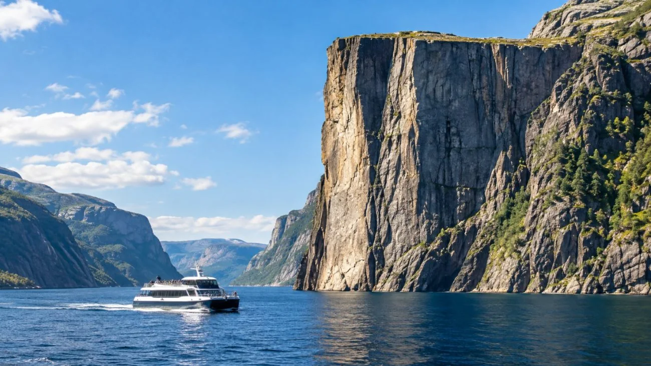
The boats are a different trip, not a lesser one. From central Stavanger they run up the Lysefjord under the only
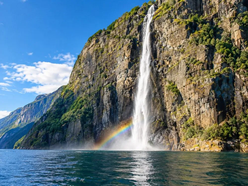
bridge across it, past the Vagabond's Cave where outlaws once hid, close enough to the Hengjanefossen waterfall to feel
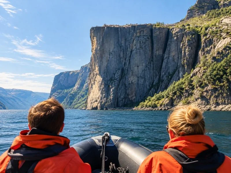
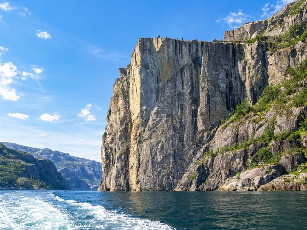
the spray, and then stop beneath Preikestolen. From the water the plateau is a small square on top of a wall. It is the
best way to understand how high it really is, and the only way for anyone who can't do two hours of steps.
From the boat the plateau is a small square 604 metres up.
Timing it
In July the trail fills between about 8 and 10 in the morning, and the car park is busiest from 8 to 4. Go early, or
start after 4 on a long summer evening, and you will have the plateau almost to yourself. Late May and September are
quieter and still have buses. From November the season ends for independent hikers: the steps ice over, the days are
short, and the winter tours with a guide, spikes and head torches take over. Whatever the month, look at the forecast
first. In fog you climb for two hours to stand in a cloud.
Small lakes on the upper plateau make a good rest stop on the way down.
Straight answers to what people ask most about Preikestolen.
How long does it take to hike Preikestolen?
Plan on about 4 hours for the round trip: roughly 2 hours up and a little less down, plus 45 minutes to an hour on top. The trail is about 8 km return with around 500 m of climbing in total. Slow walkers and families should allow 5. Details in our hike guide.
How difficult is the Preikestolen hike?
Moderate. Visit Norway calls it moderately demanding and Fjord Norway grades it red, mostly for the steep stone stairs in the first and middle sections. There is no climbing or exposure on the path itself. If you can walk uphill for an hour with breaks, you can do it. Wear proper boots, not trainers or jeans.
Can you hike Preikestolen without a guide?
Yes, from roughly May to October. The trail is marked with red T signs, the stone steps are clear and most people walk it on their own. From November to April snow and ice change that: Visit Norway advises a guide, spikes and a head torch. See hiking without a guide.
Has anyone fallen off Preikestolen?
Yes, but very rarely for a cliff that around 300,000 people visit a year. News reports confirm two fatal falls: a Spanish tourist in October 2013 and a man in his 40s in June 2024. There is no railing, so stay a few metres back. More in is Preikestolen safe.
Is Preikestolen going to fall into the fjord?
Not in the foreseeable future. A crack runs across the plateau and has been measured since 1930. In 2017 the bolts showed a tiny widening, the Geological Survey of Norway checked it, and a 2018 stability study at NTNU concluded the rock is safe.
What is special about Pulpit Rock?
Its shape. The top is a flat, almost square granite plateau of about 25 by 25 metres, with a straight drop of 604 metres to the Lysefjord. Frost and ice cut it about 10,000 years ago. The cliff scene in Mission: Impossible - Fallout was filmed here.
What is the best month to hike Preikestolen?
June to early September for long days and the regular hiker buses; May and late September for fewer people. July is the busiest month. From November the trail turns to snow and ice, and a guided winter hike is the safe way up.
How do I get to Preikestolen from Stavanger?
By car it is about 40 minutes through the Ryfast subsea tunnels to Preikestolen Parking (toll road, paid parking). In season, hiker buses run from central Stavanger and must be booked online. Outside the bus season, a guided tour with pickup is the easy way.
Can you see Preikestolen from a boat?
Yes. Fjord cruises and RIB boats leave central Stavanger and stop below the cliff, 604 metres under the plateau. You see the rock from below but do not land or climb. See boat or hike.
Is there an entrance fee for Preikestolen?
No. There is no ticket for the trail or the plateau. You pay for parking at the trailhead, which funds the non-profit Preikestolen Foundation that maintains the path, and for the Ryfast toll if you drive.
Which is easier: Preikestolen, Kjerag or Trolltunga?
Preikestolen, by a distance: about 4 hours on a well-built trail. Kjerag takes 5 to 6 hours with chains on steep slabs, and Trolltunga is a 7 to 12 hour day. Compare them in our big three guide.
Is Preikestolen worth it?
For most people, yes. The hike is short enough for a half day and the view straight down the Lysefjord is the one in the photos. Go early or late to skip the queue for the edge picture, and check the forecast: in fog you will see very little.
Ready to book
Up the steps, or under the cliff.
Pickup from Stavanger on every guided hike, and free cancellation on every tour.

 Max 8 people
★ 4.87 hoursFree cancellation